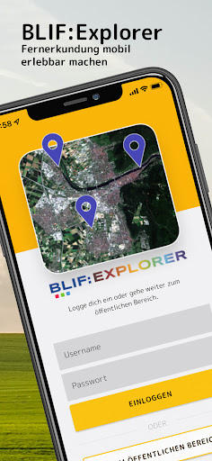
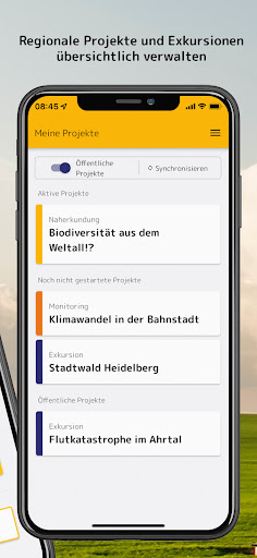
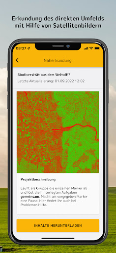
Features BLIF:Explorer
With this app you take satellite images into the field and collect your own spatial data on important environmental topics.
You work like an environmental scientist by collecting in situ data and comparing it with satellite images.
With your photos, audio files and notes you answer important questions relevant to sustainability.
You find out, for example, whether or which vegetation is present on agricultural land, what is the health status of various trees in the forest, or how high is the biodiversity of green spaces.
In this way, you explore facts and relationships in the context of the United Nations Sustainable Development Goals (SDGs).
For more information, visit www.rgeo.de.
Music Features
Enjoy high-quality music streaming and playback features.
Camera Features
Advanced camera features with editing capabilities.
Fitness Tracking
Track your workouts and monitor your health metrics.
See the BLIF:Explorer in Action
Get the App Today
Available for Android 8.0 and above